
Görüş Tümünü Gör
Karbon Dengelemesi Körfez Ekonomisi ve Çevre Politikaları İçin Yeni Bir Ufuk Anlamına Gelebilir
Nedir ve Neden Önemlidir? Körfez bölgesi, sürdürülebilir ve çeşitlendirilmiş bir ekonomi arayışında karbon den...
BAE'nin Küresel Diplomasisi Hızlı, Etkili ve Yenilikçi
Birleşik Arap Emirlikleri (BAE) uluslararası diplomasi alanında küçük bir devlet olarak sınıflandırılmaktadır. Ancak ülke, di...

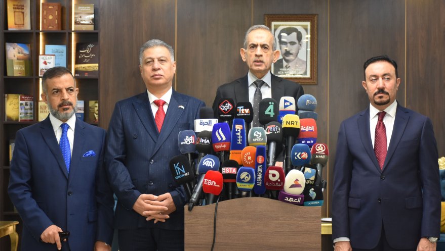
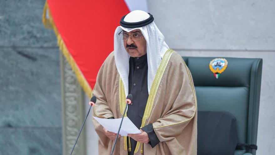
Kerkük’te Hükûmet Kurma Krizi
18 Aralık 2023’te gerçekleştirilen Kerkük vilayet meclis seçimlerini kazanan üyeler 29 Ocak 2024’te K...
Bakış Tümünü Gör

PKK’nın Irak’ın Kuzeyindeki Stratejik Kayıpları ve Pençe-Kilit’e Saldırılar
Terör örgütü PKK tarafından Irak’ın kuzeyindeki Türk Silahlı Kuvvetlerinin geçici üslenme b&...
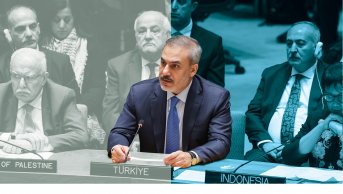
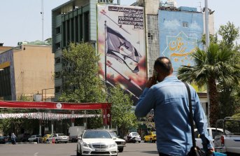
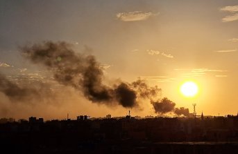
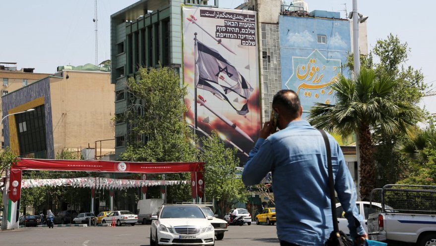
İsrail-Filistin Sorununa Bir Çözüm Önerisi: Türkiye’nin Garantörlük Teklifi
7 Ekim’de Hamas’ın gerçekleştirdiği operasyon sonrası İsrail’in Gazze’ye yönelik başlattığı saldırılar ikinci a...

Kerkük’te Vilayet Meclisi Seçimleri ve Türkmenler
Kerkük, ekonomik ve jeopolitik öneminden dolayı tarih boyunca bölgesel ve uluslararası siyasette özel bir konuma sahip o...
Analiz Tümünü Gör
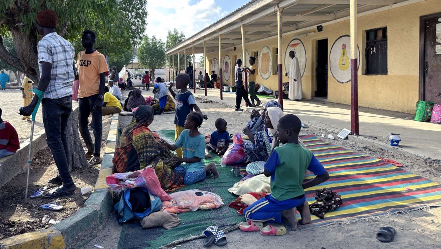
Türkiye ve Somali: Bölgesel Güvenlikten Ekonomik Kalkınmaya Yeni Bir İş Birliği Yaklaşımı
Türkiye’nin özelde Somali genelde Afrika ve Kızıldeniz politikası tarihsel açıdan bölge ülkeleriyle g&u...

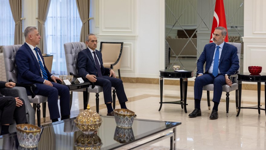
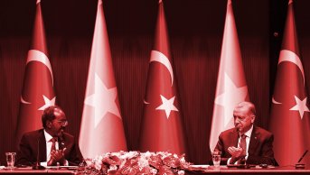
Türkiye-Irak İlişkilerinde Mevcut Gidişat: Eski Engelleri Aşarken Yeni Yönelimler
Türkiye ve Irak arasındaki ilişkiler her zaman her iki ülke için de önemli olmuştur, her iki ülke de bu ilişkiyi ihmal e...
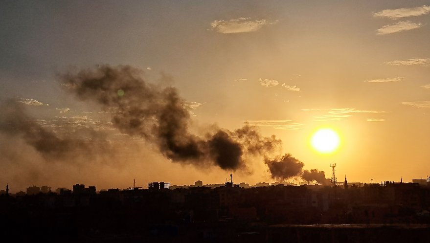
2023 Yılında Suriye ve 2024 Yılından Beklentiler
2011 yılından bu yana uluslararası gündemin en üst sıralarında yer alan Suriye krizi, 2022 yılı ortasından itibaren çatışmaların s...